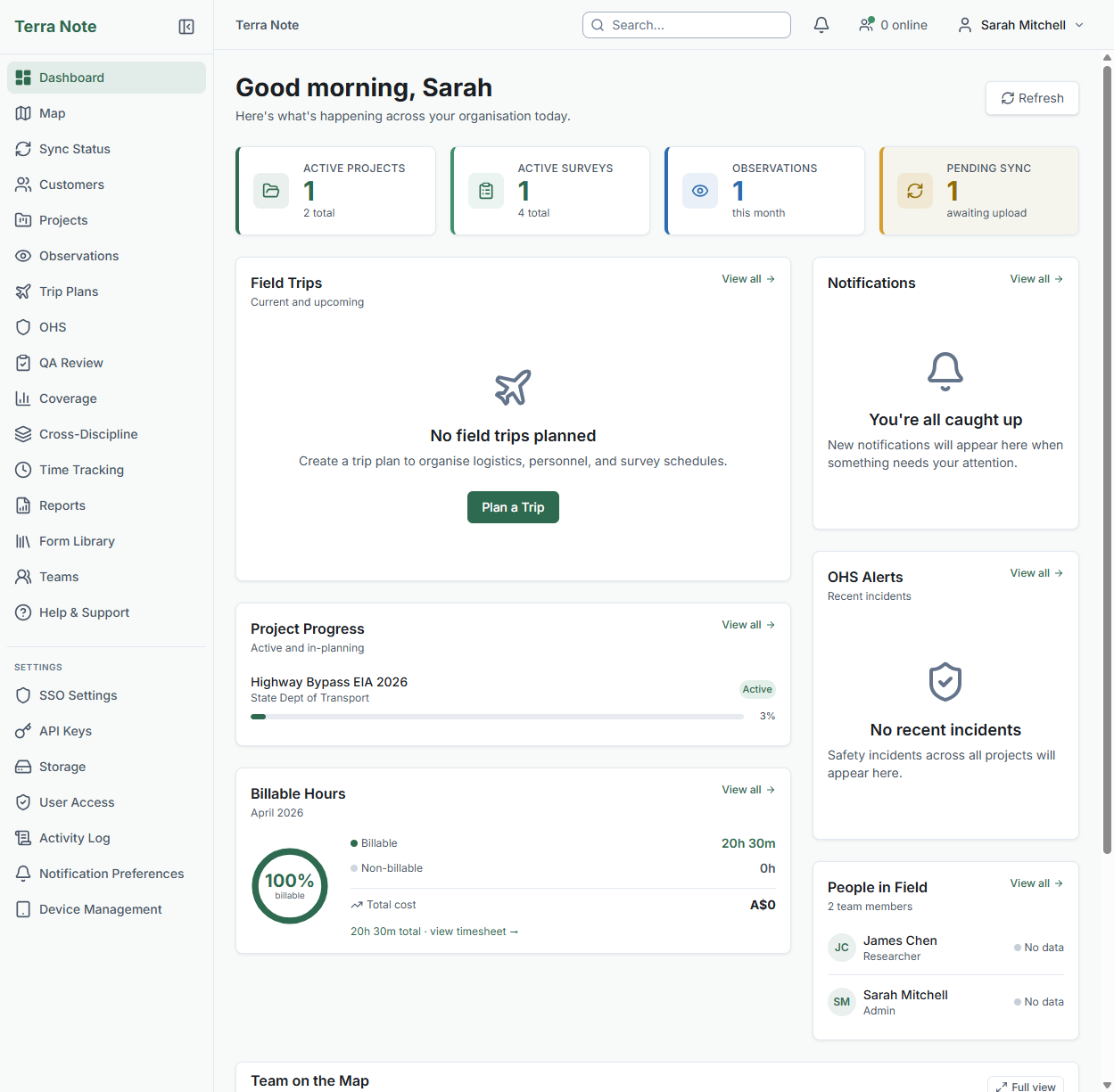
Your field data pipeline is broken
Paper forms. Spreadsheet re-entry. Separate GIS. Manual AHIMS exports. TerraSitu replaces the entire stack — from the first GPS point to the government submission.
Ground truth, in situ.
Replace the tool stack, not just one piece of it
A typical 5-person firm spends $400–700/month on disconnected field tools, GIS licences, and storage — with double entry at every handoff. TerraSitu replaces the lot from $59/month.
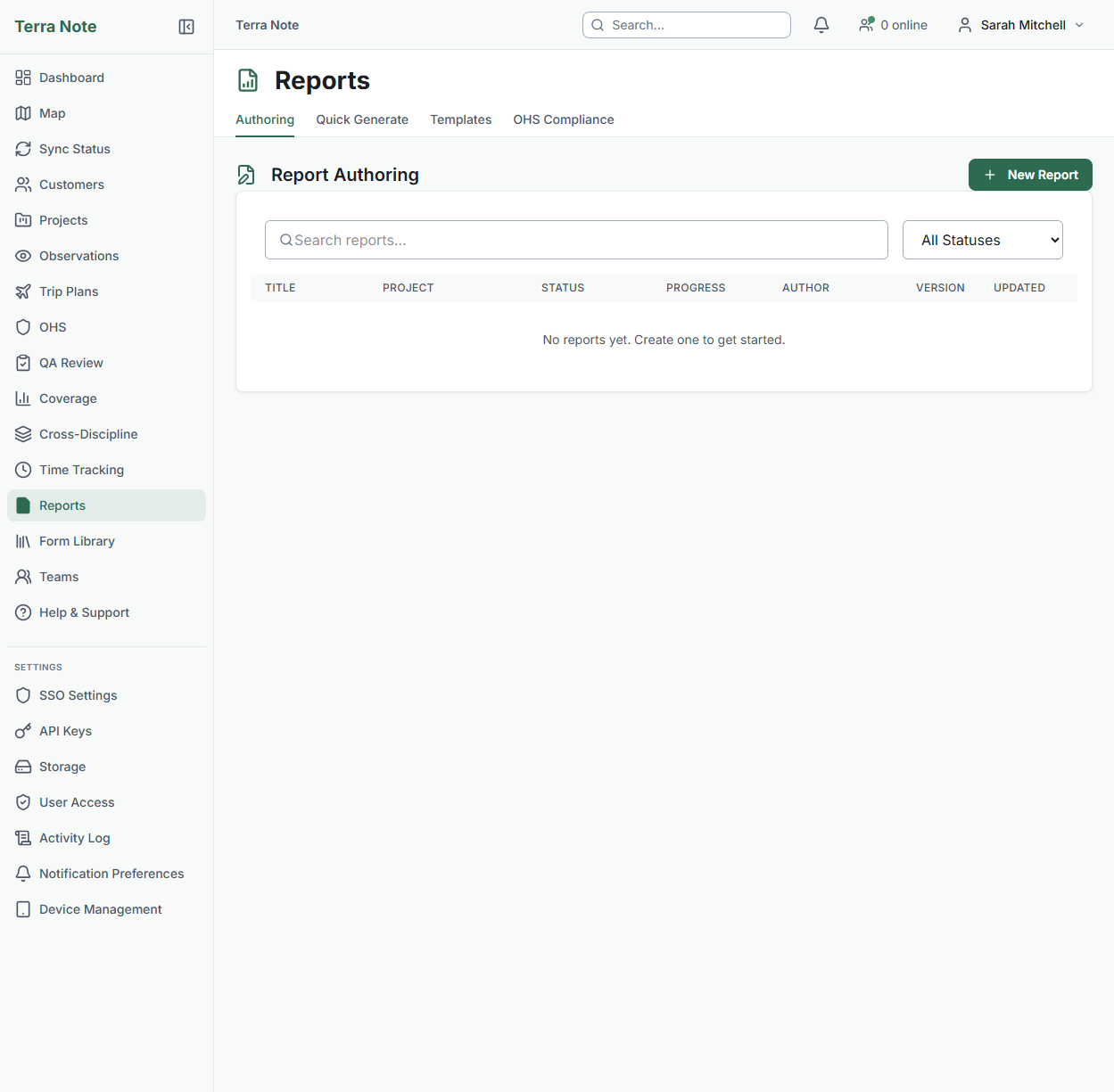
No re-entry. No transcription errors. Data flows straight to your review queue.
40 observations/day × 3 minutes to re-enter = 2 hours of unpaid admin, eliminated.
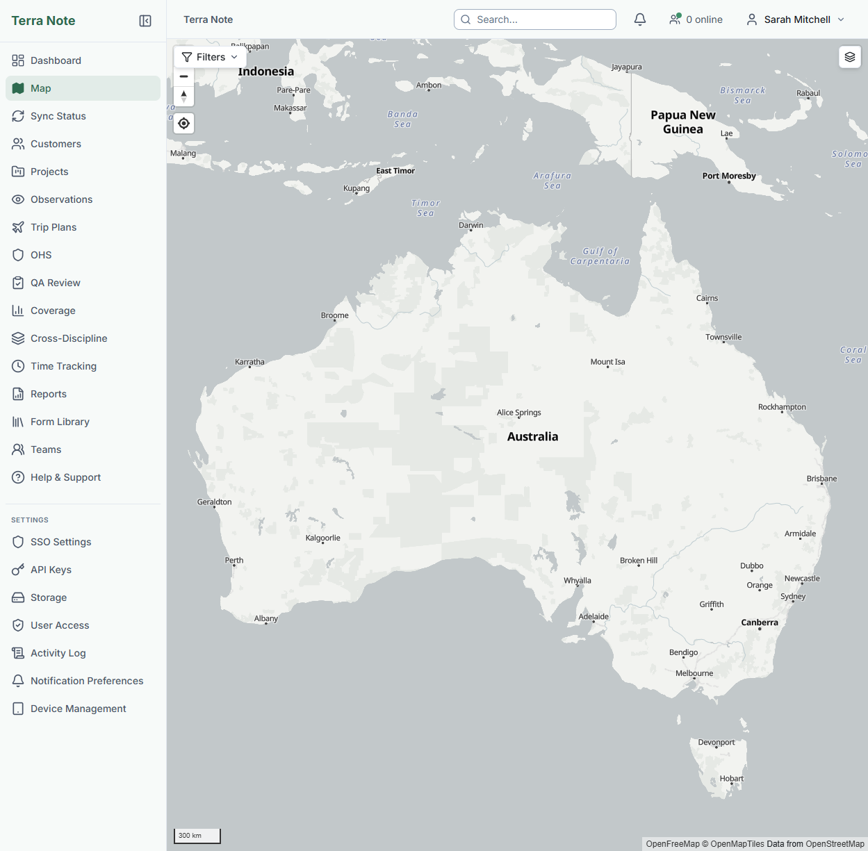
Import your shapefiles, view survey boundaries, and export to any format. Keep your desktop GIS for heavy analysis — do your field work here.
AHIMS, BioNet, VAHR, VBA, and EPBC export templates built in. No more Sunday-afternoon reformatting.
One login. One place to train your team. One subscription. Data flows from the field to the government portal without anyone retyping it.
One subscription. Every tool your field team actually needs.
Purpose-built for Australian ecology and heritage consultants. Pre-configured with ALA species lookup, government export templates, and state-specific compliance tools — ready to use on day one.
Works 100% Offline
Download a complete survey package — maps, forms, species data — and work for days without a signal. Every record, photo, and GPS track is captured locally and syncs when you're back in range.
AHIMS & BioNet Exports
Government-ready export templates for AHIMS, BioNet, VAHR, VBA, and EPBC referrals. Export formats match what each portal expects — no manual reformatting, no Sunday-afternoon CSV wrangling.
ALA Species Lookup
Integrated with the Atlas of Living Australia. Autocomplete species names with full taxonomy. When a conservation-listed species is recorded, you get an alert immediately — in the field, not back at the office.
Maps Without the Licence Fees
Streets, topographic, and satellite base maps included in your subscription. No per-seat fees, no separate GIS licence for field work. Import your shapefiles, view your survey boundaries, and do 80% of your field GIS work right here.
GPS Tracking & Bluetooth
High-precision location capture with configurable accuracy thresholds. Record GPS breadcrumb trails, navigate to waypoints, and get geofence alerts at survey boundaries. Bluetooth GPS receiver support for sub-metre accuracy.
GIS Import & Export
Import KML, GeoJSON, Shapefile, KMZ, GML, and GPX. Export to CSV, GeoJSON, Shapefile, KML, GeoPackage, or GPX. Preview on the map before committing. Clip to your survey boundary automatically.
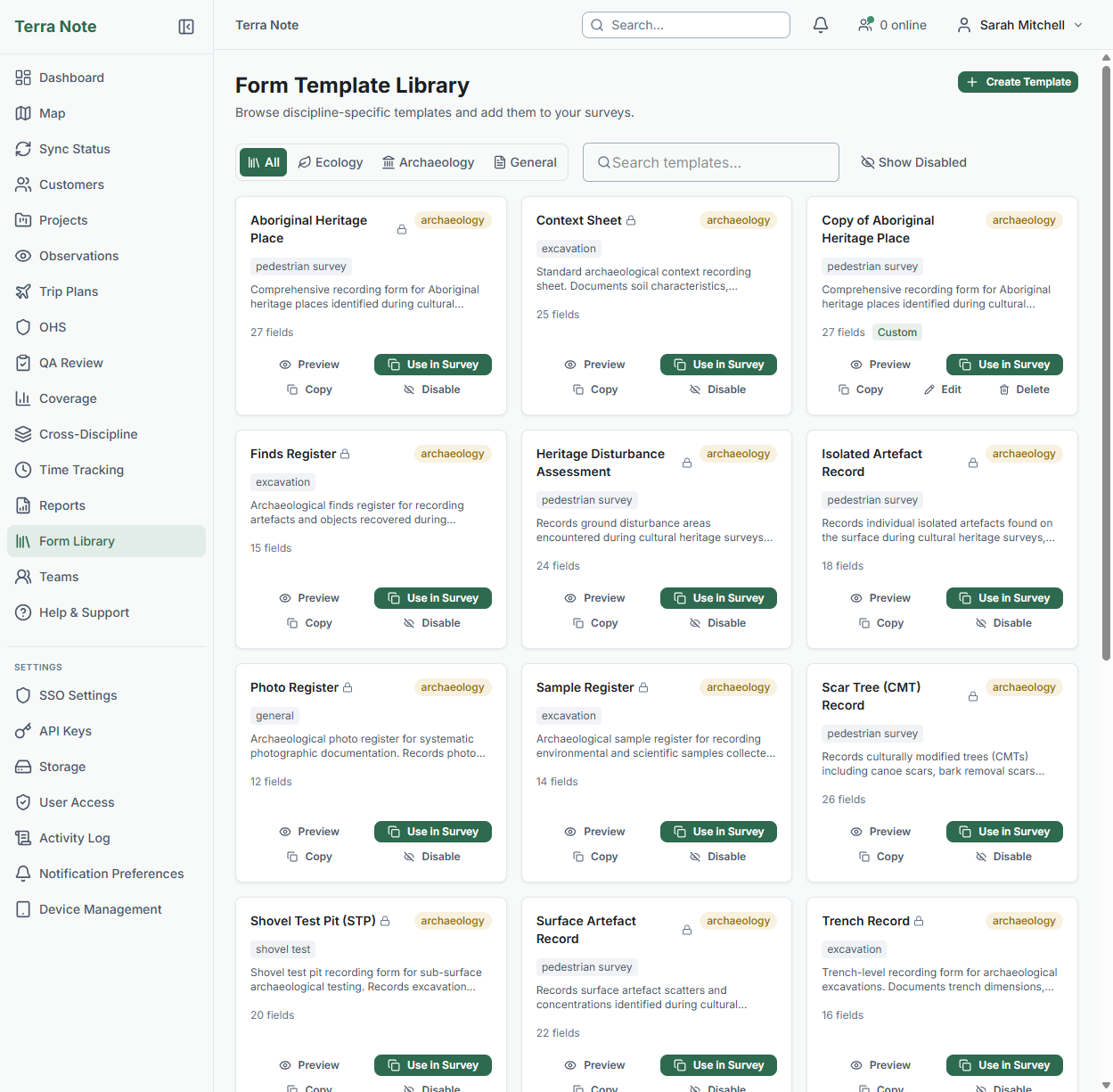
13+ Survey Templates
Field-tested templates for flora quadrats, fauna active searches, vegetation condition assessments, heritage context sheets, finds registers, and more. Use as-is or build your own with the drag-and-drop form editor.
AI Report Drafting
Generate report sections from your survey data automatically. Species registers, methodology summaries, and results tables drafted from the observations you've already captured. Edit and refine — not write from scratch.
Photo Register
Geo-tagged photos with auto-embedded location data. Photo register numbering, direction, scale, and subject metadata. Archaeology teams get a camera overlay for photo boards. Bulk edit metadata after the fact.
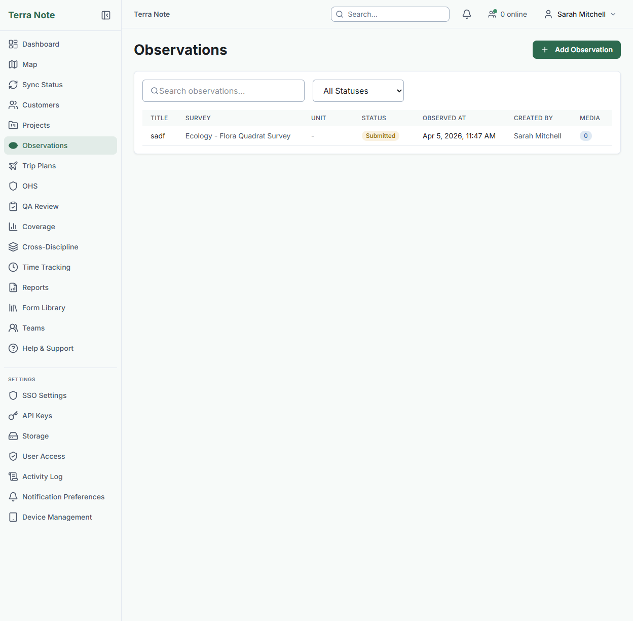
QA Review Workflow
Flag, approve, reject, or request re-survey on any observation. Coverage analysis compares expected versus actual spatial coverage. Activity logs keep every action accountable.
OHS & Safety
Risk assessments, SWMS, digital sign-off workflows, incident reporting, and safety checklists — all accessible offline on mobile. Your team signs on before they start, not after they get back.
Time Tracking
Start/stop timers on web or mobile. Weekly timesheet grids, approval workflows, and budget tracking at project and site level. Period locks prevent edits to submitted pay runs.
Team Coordination
Assign surveys to field teams, track who's where on the map, discussion threads on observations, and notification alerts. Role-based access across admin, project lead, field researcher, and viewer roles.
From the first GPS point to the government submission
The complete consulting workflow in one platform — quote to report, office to field and back. No handoffs, no re-entry, no lost data.
Set up in the office
Create your project, import GIS layers and survey boundaries, choose form templates, and assign your field team. Everything is configured before boots hit the ground.
Push to field devices
Package maps, forms, species data, and reference documents into a single offline bundle. Your team downloads it once — then they're ready to work without a signal for days.
Collect in the field
GPS-tagged observations, photos, species records, GPS tracks — all captured offline. Structured forms ensure consistent data quality across your whole team. No paper, no re-entry.
Review & QA
Sync collected data automatically when back in range. Flag, approve, or reject observations. Coverage analysis checks expected versus actual spatial coverage. Audit trail tracks every action.
Report & submit
Generate reports with AI-drafted sections, species registers, and map plates. Export directly to AHIMS, BioNet, or other government portals in the format they expect. Deliver to your client.
Every step happens in TerraSitu. Your data is captured once, flows through QA, and lands in your report — and the government portal — without anyone retyping a single coordinate.
Start Your Free TrialNot a generic form builder. Built for your discipline.
Discipline-specific data models, government export templates, and recording standards — designed with practising Australian consultants.
Ecology & Environmental Consulting
Flora surveys, fauna monitoring, environmental impact assessments
Record species observations against ALA taxonomy with live autocomplete — online or offline. Structured templates for flora quadrats, fauna searches, bird point counts, vegetation condition assessments, and aquatic surveys. Conservation status alerts flag threatened species the moment they're recorded. Export to BioNet and VBA in the format each portal expects.
- ALA species lookup with offline cache
- Threatened species conservation alerts
- Flora quadrat, fauna search & bird point count templates
- BioNet & VBA government export templates
- EPBC Act referral data formatting
- Photo register with GPS & compass metadata
- Species summary tables for reporting
Cultural Heritage Consulting
Pedestrian survey, watching briefs, heritage compliance
Built for surface survey and monitoring — not excavation. Watching brief session tracking records machinery, operator, and ground conditions as construction progresses. Chance find protocols enforce the stop-record-notify-assess-clear workflow. Heritage register integration pulls from AHIMS, VAHR, and all state registers with proximity search and buffer zones.
- AHIMS export templates — formatted ready for upload
- Heritage register lookup (AHIMS, VAHR, all states)
- Watching brief / monitoring session tracking
- Chance find protocol (structured 5-step workflow)
- Proximity search with buffer zone display
- Culturally sensitive annotations (restricted visibility)
- Stakeholder register with Traditional Owner protocol notes
Archaeology — Excavation & Recording
Context recording, stratigraphy, finds management
Purpose-built for excavation recording with context sheets, auto-numbered finds registers, and stratigraphic relationship tracking. The Harris Matrix viewer renders your stratigraphy as an interactive diagram with cycle and contradiction detection. Context boundaries display directly on the survey map alongside your GIS layers.
- Context sheets with auto-numbering per survey
- Harris Matrix viewer with validation
- Stratigraphic relationships (above, below, cuts, fills)
- Finds register with material, type & period
- Sample register for lab workflows
- Photo board camera overlay
- Context register & printable tables
Straightforward pricing, no surprises
No per-observation charges. No map tile fees. No hidden usage limits. All prices in AUD.
First 25 customers: 50% off your first year on any annual plan
Solo
Replace paper and Excel. Everything you need to collect field data digitally.
Features
- Offline mobile app
- Core GIS (KML/GeoJSON import, draw, map)
- Form templates library
- Observations & photo capture
- CSV & GeoJSON export
- Auto QA & capture validation
- Route following
Studio
The complete field platform for growing teams. Add users and storage as you scale.
Features
- Everything in Solo, plus:
- Advanced GIS (Shapefile, spatial ops, styling)
- Survey methods (transect, quadrat, point count)
- Photo register & field standards
- Report authoring & PDF/DOCX export
- OHS, time tracking & trip planning
- Archaeology, heritage & stakeholder modules
- GPS tracking & external GPS
- API access & contractors
Not included
- AI report drafting & species ID
- Government export templates
- Regulatory submission tracking
- Report branding & scheduling
- Quoting & estimation
- SSO & device management
Professional
The complete platform with AI, government compliance, and business tools.
Features
- Everything in Studio, plus:
- AI report drafting & species identification
- Government exports (AHIMS, BioNet, VAHR, VBA)
- Regulatory submission tracking
- Report branding, scheduling & charts
- Quoting & estimation with site intelligence
- SSO (SAML/OIDC) & device management
- HD satellite imagery
- Publication quality map export (600 DPI)
Always included on every tier
Worked examples
14-day free trial on all tiers. No credit card required. Need volume licensing or custom storage? Talk to us.
Common questions
When a survey is assigned, the field team downloads a survey package with maps, form templates, species data, and reference documents. Everything is stored locally — no signal needed. Observations, photos, GPS tracks, and form data are captured to local storage. When connectivity returns, everything syncs automatically with retry and conflict handling.
Import: KML, GeoJSON, Shapefile (.shp), KMZ, GML, and GPX. Export: CSV, GeoJSON, Shapefile, KML/KMZ, GeoPackage, and GPX. All formats can be previewed on the map before importing and optionally clipped to your survey boundary. No separate GIS licence needed for field work.
TerraSitu integrates with the Atlas of Living Australia (ALA) for species lookup. Start typing a species name and get autocomplete suggestions with full taxonomic details. When a species with a conservation listing is recorded, you get an alert immediately — in the field, not back at the office. Species data is cached for offline use.
Government-ready export templates for AHIMS (NSW), BioNet (NSW), VAHR (VIC), VBA (VIC), and EPBC Act referrals. Export formats match what each portal expects — no manual reformatting. State heritage register integration and threatened species alerts are pre-configured for Australian jurisdictions. This is a Professional tier feature.
Your data is encrypted and completely isolated from other organisations. Role-based access controls what each team member can see. You can add SSO and device management for additional security. You always own your data — export it in standard formats at any time, even after cancelling.
Your data is retained for 90 days after cancellation. During that time you can export everything in standard formats (GeoJSON, CSV, Shapefile, etc.) or reactivate your account. Completed project archives remain accessible throughout. After 90 days, data is permanently deleted.
Your field team deserves better than clipboards and spreadsheets
Start a free trial today. No credit card required. Pre-configured for Australian ecology and heritage legislation from day one.